Centre on Earth Observation.

The Centre on Earth Observation carries on research activities in the field of geomatics which are applied to several sectors: from emergency management to logistics, from regional planning to capacity building.
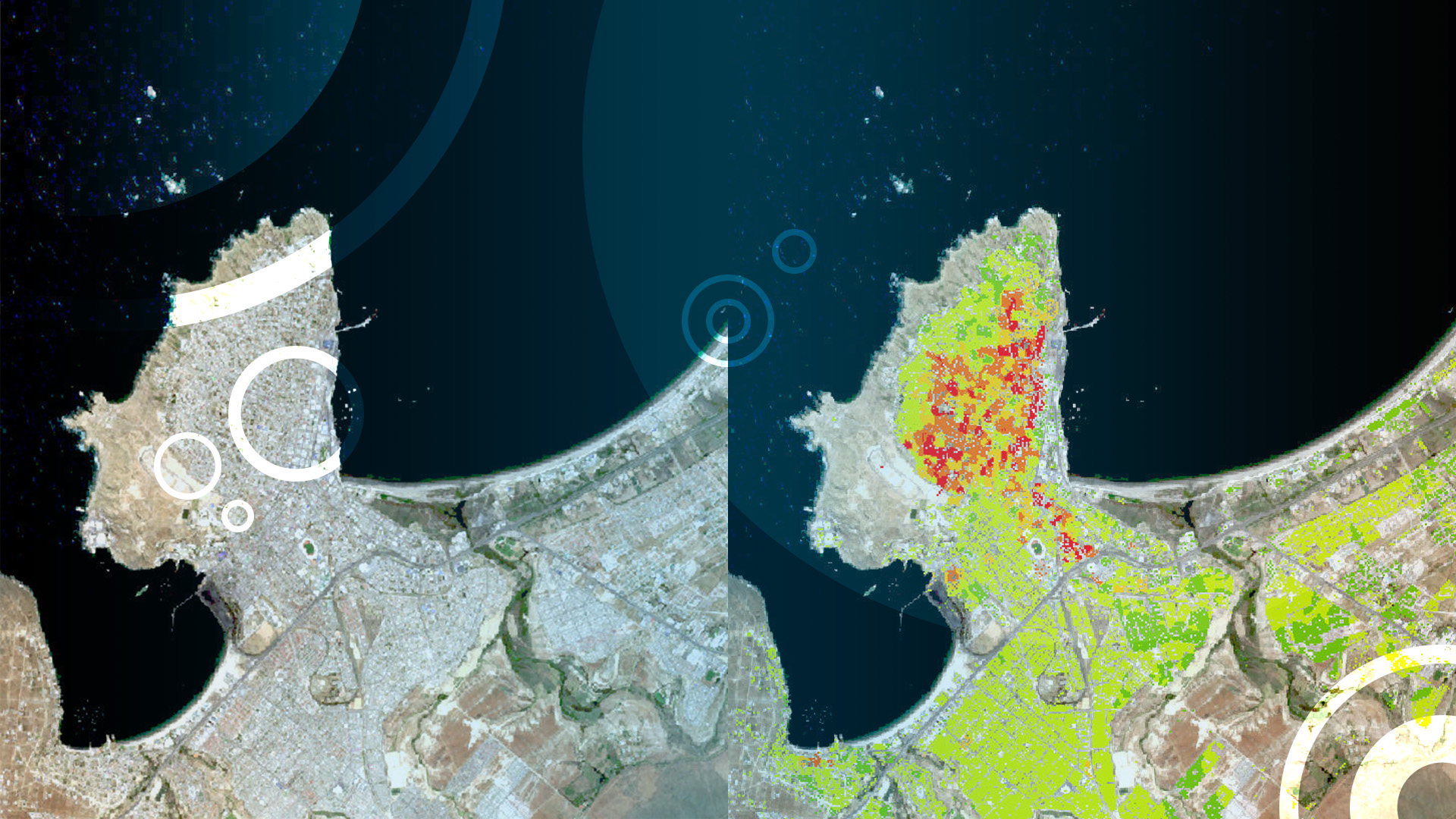
The Centre processes and extracts thematic territorial information with the aim to identify and monitor the status and the characteristics of the Earth surface as well as its changes due to both natural events and anthropic actions. This is obtained by integrating and analysing geospatial data generated by different Earth Observation satellite missions (such as, for example, Copernicus), satellite derived data products and, finally, in situ data.
In addition, the Centre can publish the results of these analyses in web applications which enable users to easily consume derived data and parameters through thematic maps in WebGIS tools.
Presently, the Centre’s activities are focused on the production of both digital and printed cartographic products mainly based on open-source geospatial data retrieved from multiple sources such as, remote sensing, collaborative mapping, thematic databases.
The researchers of the Centre have a long-lasting experience of scientific collaboration with national and international universities and research centres. In the last decade, they have led and collaborated to innovative projects with international organisations (e.g., the World Bank), universities and SMEs fostering the adoption of geomatic-based solutions and products.


